Tveitakvitingen
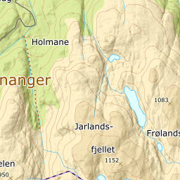
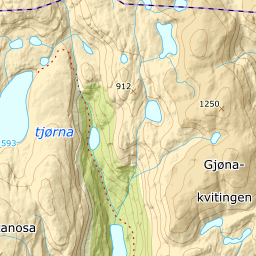
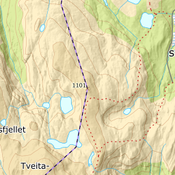
995 metres of ascent over 8.56 km one way from the Furedalen alpine centre to Tveitakvitingen — the longest of the four Kvamskogen tours, and the gentlest: the steepest hundred-metre band is 16.4 degrees between 800 and 900 m, and the steepest sustained stretch 25.0 degrees between 817 and 838. ut.no still grades the tour very demanding, and it is the length and the plateau that carry the grade — 17 km round trip across wide mountain terrain where the weather and the navigation are the difficulty, not the slopes. The line here is traced from ut.no's own GPX track, which ends 8 metres from the measured summit.

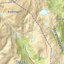
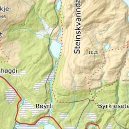
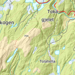
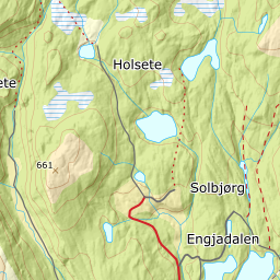
Elevation profile
995 metres of ascent over 8.56 km one way from Furedalen, with the steepest ground — 25.0 degrees between 817 and 838 m — on the steps the source calls Stoveveggen.
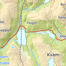
From the car park at the Furedalen alpine centre, 382 m. The name in the source — «Furudalen» — does not exist in the register; the place is called Furedalen, and the car park is mapped as «Furedalen alpin». The first hundred metres cross the flat by the ski area, then you are on Mødalsvegen: the groomed tracks the source mentions are cross-country trails, mapped with classic and skating grooming all the way to Mødal, and the alpine pistes lie west of the line.
Route description, descent and avalanche terrain open with a subscription — 14 days free, then 29 kr/month.
Start free trialMore tours in Kvamskogen
See all the tours