SunnmøreModerateSeason Dec–Apr
Auskjeret
870 metres of climbing over 3.83 km from Fausaskiftet, an even ascent northward the whole way — about fifteen degrees on average. A road open all year to the start is why this is one of the first tours to go in Sykkylven each winter.
Summit
1203 m
Vertical gain
↑ 870 m
Typical time
3–5 h
Grade
Moderate
Aspect
SE
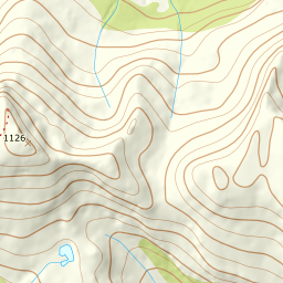
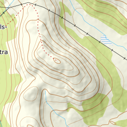
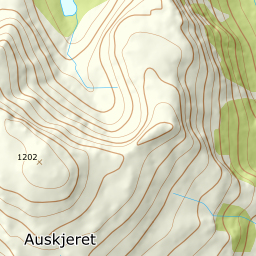
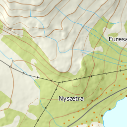
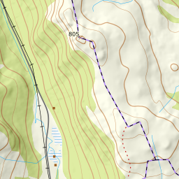
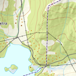
Elevation profile
870 metres of climbing and 3.83 km from Fausaskiftet by Nysætervatnet, with the treeline at 553 m and the steepest hundred-metre band between 800 and 900 m.
Start at Fausaskiftet at the end of Nysætervatnet, 333 m, where Fausavegen leaves the road network about four kilometres past the ski centre. The road here is open all year.
Route description, descent and avalanche terrain open with a subscription — 14 days free, then 29 kr/month.
Start free trialMore tours in Sunnmøre
- Jønshornet1417 m · Expert
- Ytstevasshornet1331 m · Demanding
- Råna1587 m · Demanding
- Kolåstinden1432 m · Demanding
- Vassdalstinden1278 m · Demanding
- Saudehornet1303 m · Demanding
- Slogen1564 m · Expert
- Torvløysa1851 m · Moderate
- Skårene1830 m · Demanding
- Melshornet809 m · Easy
- Jakta1589 m · Demanding
- Skårasalen1542 m · Demanding
- Kvitegga1700 m · Demanding
- Hornindalsrokken1527 m · Expert
- Sunndalsnipa1395 m · Moderate
- Eidskyrkja1482 m · Demanding