Bånsæterkampen
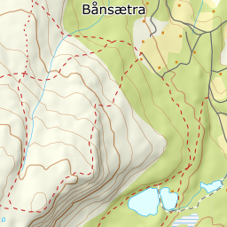
341 metres of climbing and 2.73 km from Bånsetra onto a ridge that drops away to the south. The route itself is gentle — the steepest hundred-metre band is 14.0 degrees from 900 to 1000 m, and the steepest step 22.1 degrees between 986 and 1000 — but the south-east side under the edge measures 25.5 degrees on average with 45.2 in the window 30 to 90 metres out.
Elevation profile
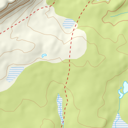
341 metres of climbing and 2.73 km from Bånsetra up the hillside to 1110 m and onto the ridge at 1195, with the forest letting go at 955 m.
Start at Bånsetra, 913 m — the summer-farm meadow where Bånsetervegen ends. Ut.no gives 914 for the same point. The road in is signed from county road 319 south of the bridge over the Lågen at Fåvang, and this is a summer-farm and cabin area with its own road network: Bånsetervegen, Svarttjønnvegen, Tutlidalsvegen and Årnesfeltet are all mapped.
Route description, descent and avalanche terrain open with a subscription — 14 days free, then 29 kr/month.
Start free trial