Beisfjordtøtta
1428 metres of ascent over 7.19 km from the gate above Djupvik to the mountain Fri Flyt calls a mountain of many secrets. The normal route over the col is the patient way into them: steepest hundred-metre band 22.7 degrees, and the steepest sustained stretch — 38.4 degrees between 1414 and 1445 m — is the summit block itself. KAST 2 – Challenging by the source; the alternatives (Isvannsrenna, the ~45-degree glacier descent) are another league, and they are not this line. Both Forsnesvatnet and Isvatnet are regulated reservoirs, and the line keeps to land the whole way.
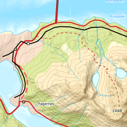
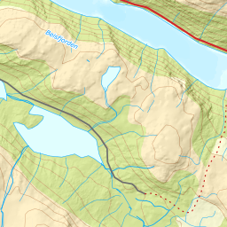
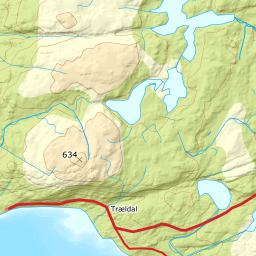
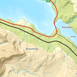
Elevation profile
1428 metres of ascent and 7.19 km from the gate above Djupvik via Pumpvatnet and the east side of Forsnesvatnet, with the treeline at 502 m and the steepest ground — 38.4 degrees between 1414 and 1445 m — in the summit block.
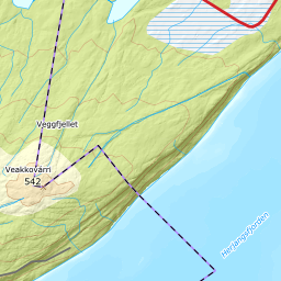
From the road gate on Forselvveien above Djupvik — 60 m, parking at the gate as the source says — you walk the road to its end at 141 and climb the steep forest to the waterworks road. The trees end at 502 m after 2.94 km. The first four waypoints share geometry with Rombakstøtta's revised line: this is audited ground.
Route description, descent and avalanche terrain open with a subscription — 14 days free, then 29 kr/month.
Start free trialMore tours in Narvik
- Spanstinden1457 m · Moderate
- Rombakstøtta1231 m · Demanding
- Litletind1100 m · Moderate
- Skjomtinden1576 m · Expert
- Gangnesaksla1318 m · Demanding