Besshø
1328 metres of climbing from Bessheim, and a good third of the tour is flat: three and a half kilometres lie on the ice of Bessvatnet. The climbing itself is gentle throughout, and what makes Besshø demanding is the length and a large, round summit plateau that does not show you where it ends.
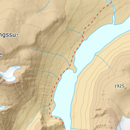
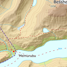
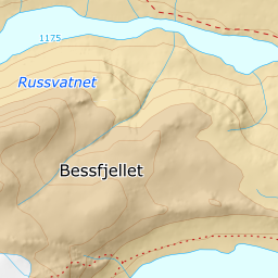
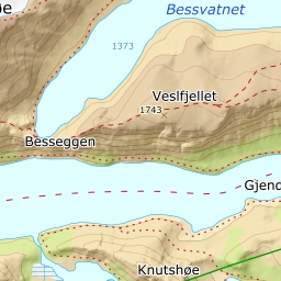
Elevation profile
1305 metres of climbing and 9.58 km from Bessheim to the summit, three and a half of those kilometres flat lake at 1372 m.
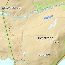
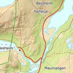
From the car park at Bessheim fjellstue at 961 m, follow the marked route west and up the 413 metres to the north-east end of Bessvatnet at 1374 m. This is the tour's first pitch and it holds 10–14 degrees — steady, but this is where you do the climbing before the flat. Fv51 over Valdresflye is closed in winter south of Maurvangen, but Bessheim lies north of the closure and is reached all winter via Sjoa, Heidal and Randsverk.
Route description, descent and avalanche terrain open with a subscription — 14 days free, then 29 kr/month.
Start free trialMore tours in Jotunheimen
- Glittertinden2451 m · Demanding
- Galdhøpiggen2469 m · Demanding
- Rasletinden2104 m · Moderate