Bitihorn
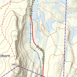
Bitihorn stands alone south of Bygdin and is visible from the whole of Øystre Slidre. The normal route goes up the back — 554 metres of even climbing, flat for the first kilometre and marked with iron poles at the top.
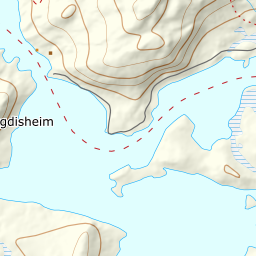
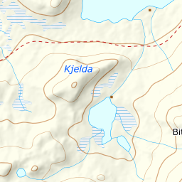
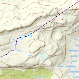
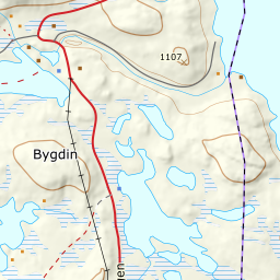
Elevation profile
1061 to 1607 m: flat for the first kilometre, then an even climb up the north-west shoulder to the iron poles.
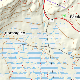
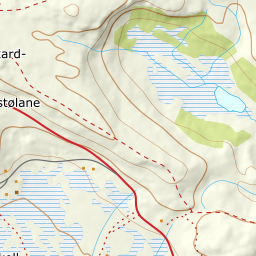
Start at the car park on Fv51, one kilometre south of Bygdin Høifjellshotell. The fee is 60 kroner a day. You are above the treeline from the car. The first kilometre crosses the flat plateau west of Stavtjerne and gives only about thirty metres of height, over a stretch of bog that lies covered once there is snow to ski on.
Route description, descent and avalanche terrain open with a subscription — 14 days free, then 29 kr/month.
Start free trialMore tours in Valdres
- Synshorn1475 m · Easy