Blånebba
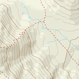
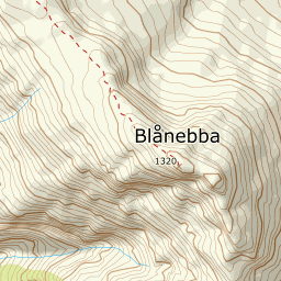
934 metres of ascent over 4.04 km from Venjesdalssetra to the edge that looks straight down into Romsdalen — from the cairn you have Trollveggen, Romsdalshorn and the Vengetind peaks in the front row. Fri Flyt rates the tour KAST 2 – Challenging with a steepest point of 40 degrees in the summit ridge; the line here takes the gentler alternative the source itself describes, via the col at 1245 m, and measures 22.2 degrees in its steepest hundred-metre band and 27.4 in its steepest sustained stretch. The edge you finally stand on falls 71 degrees — it is the view, and it is the hazard.
Elevation profile
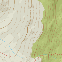
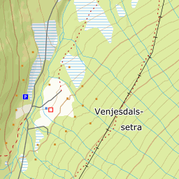
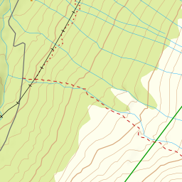
934 metres of ascent and 4.04 km from Venjesdalssetra via the flat below Storhesten and the col at 1245 m, with the treeline at 553 m and the steepest ground — 27.4 degrees between 972 and 999 m — in the northeast flank.
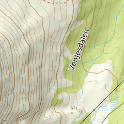
From the parking where the toll road up Venjesdalen ends, at Venjesdalssetra — OSM maps the setra as its own node, and DTM1 reads 418 m where Fri Flyt gives 380. You head south following the Romsdalseggen markers through cleared forest lanes on the north side of Tverrelva: the band from 400 to 500 m measures only 7.3 degrees, and the forest ends already at 553 m after 1.2 km, with open ground from 559.
Route description, descent and avalanche terrain open with a subscription — 14 days free, then 29 kr/month.
Start free trialMore tours in Romsdal
- Kirketaket1439 m · Moderate
- Skarven1048 m · Moderate
- Mjølvafjellet1215 m · Moderate
- Øspetinden1228 m · Demanding
- Middagstinden1568 m · Expert