Breitinden
Senja's highest peak, 1049 metres of climbing from the lay-by at the fjord. The ski tour ends at the shoulder at 763 m; the last 244 metres are exposed scrambling on the south-west ridge, and that finish is what makes this a grade 4.
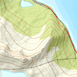
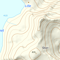
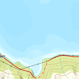
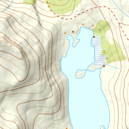
Elevation profile
1031 metres of climbing and 4.22 km from Svarthola; the skis stay at the shoulder at 763 m, 244 metres below the summit.
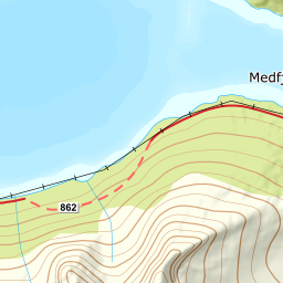
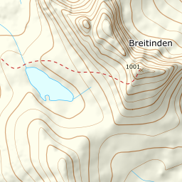
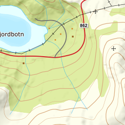
Start at the lay-by in Svarthola on Fv862, 30 m, just under six kilometres east of Senjahopen. The first two hundred metres of climbing go straight up to the north end of Svartholvatnet at 207 m, and from there east over the ridge between that lake and Breitindvatnet — a stretch around 400 m where the line flattens before rising again. At Breitindvatnet the line follows the north shore, over 467 m and 500 m, rather than going straight across the ice. It did the latter until recently: 315 metres on the lake at 474 m, up to 40 metres from shore, beneath the very flank this guide calls a terrain trap. The lake is natural and unregulated, but no ski description sends you out onto it, and here the lake is narrow enough that land is 80 metres away.
Route description, descent and avalanche terrain open with a subscription — 14 days free, then 29 kr/month.
Start free trialMore tours in Senja
- Hesten (Segla)556 m · Moderate
- Keipen938 m · Demanding
- Husfjellet632 m · Easy
- Skolpan777 m · Easy
- Tredje Svanfjell899 m · Moderate
- Lonketinden845 m · Moderate