SunnmøreDemandingSeason mars–May
Eidskyrkja
1115 metres of climbing over 4.56 km from Skinnviksætra up the Blåbreen glacier, an even ice slope that lays back gradually toward the summit plateau. The steepest sustained section measures 22.9 degrees — it is the crevasses and the navigation, not the angle, that make this tour complex.
Summit
1482 m
Vertical gain
↑ 1120 m
Typical time
4–6 h
Grade
Demanding
Aspect
N
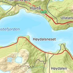
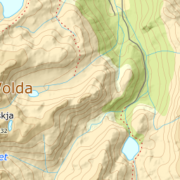
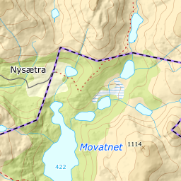
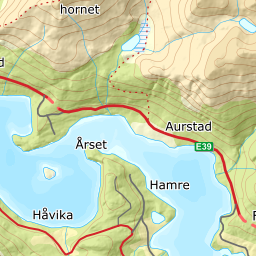
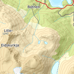
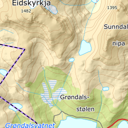
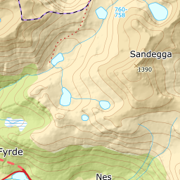
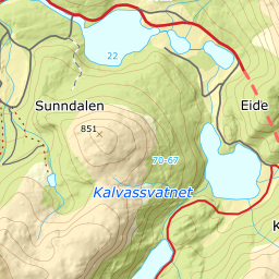
Elevation profile
1115 metres of climbing and 4.56 km from Skinnviksætra over Blåbreen, with glacier terrain registered from 1409 m and a wide summit plateau on top.
Start on the seter road by Skinnviksætra, 368 m, on the north side of Austefjorden. The road in is a toll road, and the tour counts as reachable once it opens — which is why the season reads March to May.
Route description, descent and avalanche terrain open with a subscription — 14 days free, then 29 kr/month.
Start free trialMore tours in Sunnmøre
- Auskjeret1203 m · Moderate
- Jønshornet1417 m · Expert
- Ytstevasshornet1331 m · Demanding
- Råna1587 m · Demanding
- Kolåstinden1432 m · Demanding
- Vassdalstinden1278 m · Demanding
- Saudehornet1303 m · Demanding
- Slogen1564 m · Expert
- Torvløysa1851 m · Moderate
- Skårene1830 m · Demanding
- Melshornet809 m · Easy
- Jakta1589 m · Demanding
- Skårasalen1542 m · Demanding
- Kvitegga1700 m · Demanding
- Hornindalsrokken1527 m · Expert
- Sunndalsnipa1395 m · Moderate