Englafjell
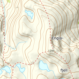
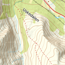
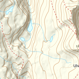
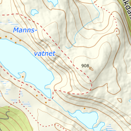
1237 metres of ascent and 8.64 km from Musland in Uskedalen — a proper west-coast mountain where the tour is bigger than its numbers: Fri Flyt calls it difficult, lists avalanche-prone terrain, hard navigation and slip-fall danger as its hazards, and gives 35 degrees on the easiest way. The line itself measures kinder — steepest 100-metre band 21.1 degrees between 300 and 400 metres, steepest sustained stretch 30.1 — but it gives back 185 vertical metres along the way, carries skis through stretches of the forest, and the summit ridge is corniced over Limomnen. The card's grade 3 is the sum.
Elevation profile
1237 metres of ascent and 8.64 km from Musland — across the valley, up to Såta, and the steep south ridge with cornices over Limomnen.
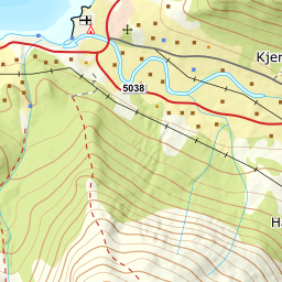
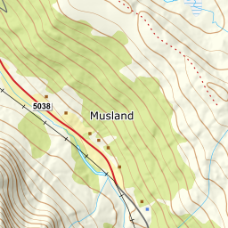
Drive to Uskedalen and turn off towards Musland; park at the first farm — the yard sits at 148 metres, and mind the tractor traffic, as the source asks. The tractor road continues north-west, and the marked path turns left into the forest — road and path network are mapped, and the first stretch is usually walked with skis on the pack along a well-trodden path.
Route description, descent and avalanche terrain open with a subscription — 14 days free, then 29 kr/month.
Start free trialMore tours in Hardanger
- Oksen1241 m · Moderate
- Vesoldo1046 m · Moderate
- Gygrastolen1347 m · Demanding
- Juklavasstinden1361 m · Demanding
- Melderskin1426 m · Demanding