Fagerfjellet
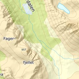
947 metres of ascent over 4.30 km from the school at Fagernes to the summit at 957 — a popular, accessible KAST 1 tour with early snow, where no hundred-metre band measures more than 17.2 degrees and the steepest sustained stretch is 25.6, down in the forest. The hazard stands on one side: the cornices toward the northeast build out over walls measuring above 70 degrees in their steepest windows. Most people turn at the cairn at 871, the source says itself — the summit lies a rolling stretch further in.
Elevation profile
947 metres of ascent and 4.30 km from Fagernes via point 459 and the cairn at 871, with the treeline at 519 m and the steepest ground — 25.6 degrees between 193 and 215 m — down in the forest.
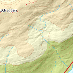
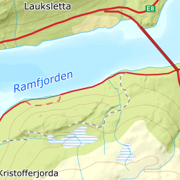
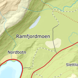
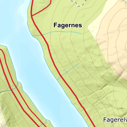
From the parking on the west side of the school at Fagernes — 20.7 m on the flat, by the E8/fv. 91 in Ramfjorden. You round the school grounds, climb the farmland and enter the forest aiming for point 459. The band from 100 to 200 m is the tour's steepest, 17.2 degrees over 361 metres of ground, and the steepest sustained stretch is here: 25.6 degrees between 193 and 215 m. The forest ends at 519 m after 2.16 km, with open ground from 528.
Route description, descent and avalanche terrain open with a subscription — 14 days free, then 29 kr/month.
Start free trialMore tours in Troms
- Store Skalltinden901 m · Demanding
- Store Blåmann1044 m · Demanding
- Kjølen790 m · Easy
- Rødtinden470 m · Easy
- Storfjellet1088 m · Demanding
- Skarlitinden858 m · Moderate
- Tromsdalstinden1238 m · Moderate
- Gabrielfjellet1214 m · Demanding
- Hamperokken1397 m · Expert
- Vestre Istinden1489 m · Demanding