Fanaråken
A high-mountain tour from Sognefjellsvegen to 2068 m, with Fannaråkhytta standing on the summit itself. Few vertical metres and gentle angles — but the route crosses a glacier, and that decides your kit.
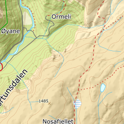
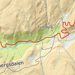
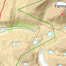
Elevation profile
783 metres of climbing and 6.70 km from Korpen to the summit — 113 of them given back along the west side of the reservoir, before the climbing begins.
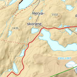
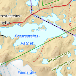
You start at Korpen, the car park on fv55 by Prestesteinsvatnet, 1397 m. Sognefjellsvegen closes for the winter over the high ground and is plowed open around Easter — in 2026 it opened on 1 April — and for the first weeks after that the pass is closed at night, 20:00 to 08:00. The opening date sets the season, so check the road status before you drive. The first kilometre and a half goes downhill and over land: the line follows the west side past two small tarns at 1384 and 1381 m, on west of the reservoir and down to the dam at the outlet, 1343 m. Stay on land along the west shore — do not cut across the ice. Prestesteinsvatnet is a reservoir, and the flat short cut straight over it is the one surface on the whole tour whose bearing strength you cannot know.
Route description, descent and avalanche terrain open with a subscription — 14 days free, then 29 kr/month.
Start free trialMore tours in Sogn
- Steindalsnosi2025 m · Easy
- Molden1120 m · Easy
- Togga1204 m · Demanding