Fastdalstinden
1271 metres of ascent and 7.21 km from the road end at Varto — a Lyngen classic with a long approach and a reservoir in the middle of the tour. Fri Flyt rates the normal route KAST 2 with a steepest point of 25–30 degrees, and the measured line is kinder than the reputation: steepest 100-metre band 19.5 degrees between 200 and 300 metres, steepest sustained stretch 25.5. The card's grade 3 is the scale, not the steepness: this is a 6–8 hour tour where the surrounding terrain — cornices, runout zones and a south side with fatal accidents in its history — is a different class from the track.

Elevation profile
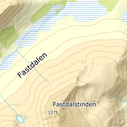
1271 metres of ascent and 7.21 km from Varto — a works road, a reservoir rounded on land, and the ridge straight at the 1275-metre summit.
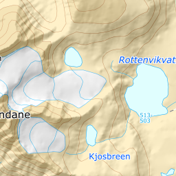
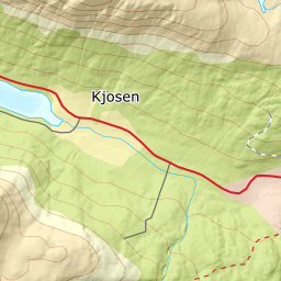
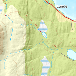
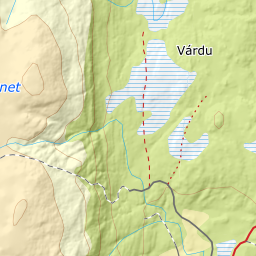
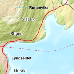
From road 7920 at Rottenvik, Vardoveien branches off and climbs about a kilometre to the road end at 123 metres — Fri Flyt's 'car park at Varto' — the register's Varto (Høyde) stands 1.8 km east at 187 metres, and the name registered at the road end itself is Vardoveien. The works road continues west and upwards: it is mapped all the way to the dam at 515 metres, and the first four hundred vertical metres are done on a road. The forest ends already at 363 metres by Kartverket's classes.
Route description, descent and avalanche terrain open with a subscription — 14 days free, then 29 kr/month.
Start free trialMore tours in Lyngen
- Storgalten1219 m · Demanding
- Rørnestinden1030 m · Moderate
- Kavringtinden1289 m · Demanding