Finnbufjellet
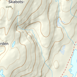
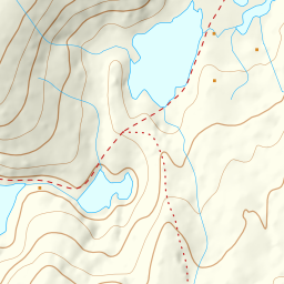
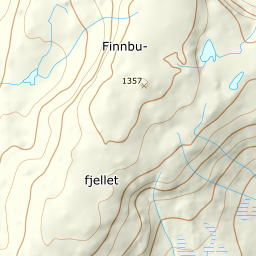
620 metres of ascent and 4.37 km from the camping ground at the top of the Halsabakkane hairpins — the mountain Fri Flyt's index calls the place where the Voss ski season opens and closes. The whole line runs on open ground above the treeline, and the numbers are kind: the steepest 100-metre band measures 13.2 degrees between 900 and 1000 metres, and the steepest sustained stretch 23.3 degrees. The names need a sentence: Fri Flyt calls the mountain Finnbufjellet and quotes 1358 metres, but the top itself is registered as Finnbunuten, and the terrain model reads 1357 — the same pattern as Kirketaket, where guidebook and register each carry their own name.
Elevation profile
620 metres of ascent and 4.37 km from the camping ground at Sendo — open ridge the whole way, with 23.3 degrees as the steepest sustained stretch.
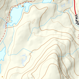
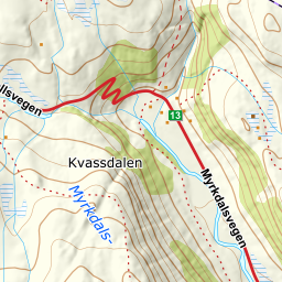
The start is the flat where highway 13 tops the Halsabakkane hairpins and meets the Sendo river — the camping ground at Sendo, 766–779 metres on open ground. The sources appear to contradict each other here, and the terrain settles it: Fri Flyt's fact box says '770 vertical metres', the Utemagasinet version of the same description says 588 metres of ascent from the same car park — and the road passes 770 metres exactly where the hairpins level out. 770 is the starting elevation, not the climb; the routed line collects 620 metres.
Route description, descent and avalanche terrain open with a subscription — 14 days free, then 29 kr/month.
Start free trialMore tours in Voss
- Storanosi1205 m · Moderate
- Lønahorgi1412 m · Moderate
- Vatnaknausen1302 m · Moderate
- Horndalsnuten1462 m · Demanding