Fiskefjordtindan
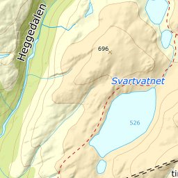
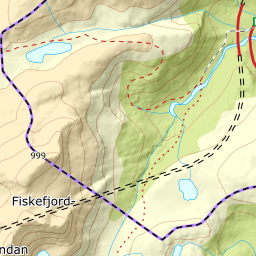
1044 metres of ascent over 7.27 km from Kanstadbotn to a summit with two truths: the register point stands on the north top, which the terrain model reads at 998.9 — but Fri Flyt's 967 is the south top, which climbs to 964.7, and that is where the route goes. The south-west side is kind — the band from 500 to 600 measures 4.0 degrees — but the east ridge at the end is exposed, with the tour's steepest stretch at 32.8 degrees just below the cairn and an east face measuring 67.2 at its steepest. Axe and crampons in the pack.
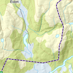
Elevation profile
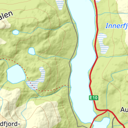
1044 metres of ascent and 7.27 km from Kanstadbotn across the ridge between the Kobbedal lakes to the south top at 965 — the treeline at 225 m, and the steepest ground, 32.8 degrees between 885 and 907 m, on the exposed east ridge.
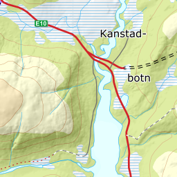
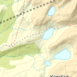
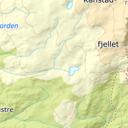
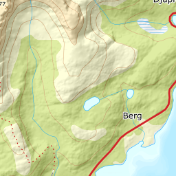
From the parking bay at Kobbedalselv bridge in Kanstadbotn — 15 m — follow the summer trail north-east: 176 m where the line takes it, the treeline already at 225 after 1.58 km, and the hillside at 369. The band from 300 to 400 measures 5.9 degrees — this is gentle, open skinning.
Route description, descent and avalanche terrain open with a subscription — 14 days free, then 29 kr/month.
Start free trialMore tours in Harstad
- Hattfjellet857 m · Demanding
- Stortussen945 m · Demanding
- Litletussen795 m · Demanding
- Slåttheia694 m · Moderate
- Skjellesvikgalten987 m · Expert
- Nona1009 m · Expert
- Trolltinden918 m · Demanding
- Årbostadtinden1179 m · Expert
- Klåptinden998 m · Demanding
- Toppen759 m · Expert
- Lundenesgalten787 m · Demanding
- Middagstinden på Andørja630 m · Moderate
- Skartinden1149 m · Expert
- Langlitinden1276 m · Expert
- Kråkrøtinden1186 m · Expert
- Ristinden1056 m · Expert
- Snøtinden1215 m · Expert
- Storhornet i Kvæfjord722 m · Easy
- Vetefjellet547 m · Moderate
- Storlitinden613 m · Easy
- Stortinden på Rolla1020 m · Expert
- Rundtinden872 m · Demanding
- Sula848 m · Moderate
- Heia527 m · Easy
- Hinnstein560 m · Demanding
- Lasselitinden896 m · Demanding
- Hemmestadfjellet686 m · Moderate
- Middagstinden i Kvæfjord922 m · Expert
- Nattmålsfjellet546 m · Demanding
- Horntindan911 m · Expert
- Tverrfjellet889 m · Moderate
- Sørvikfjellet607 m · Expert
- Melåaksla916 m · Moderate
- Rundfjellet i Harstad868 m · Moderate
- Jakobstinden976 m · Demanding
- Haukebøtinden905 m · Moderate
- Reinspælen1117 m · Expert
- Sætertinden1095 m · Moderate
- Kongsviktinden980 m · Demanding
- Snøtinden i Tjeldsund980 m · Moderate
- Taraldsviktinden776 m · Demanding
- Nonstinden930 m · Expert
- Snøtindan996 m · Expert
- Middagsfjellet810 m · Demanding
- Strandtinden1076 m · Demanding
- Jotind979 m · Expert
- Siriskolten659 m · Easy
- Trollfjellet1009 m · Moderate
- Helligtinden948 m · Demanding