Folarskardnuten
Buskerud's highest point, and a tour where 13.06 km and 997 metres of climbing come almost entirely without steep ground. The only step that asks anything of you leads out of Folarskardet, and it is short — the rest is a long, even approach across Hallingskarvet.
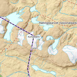
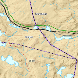
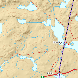
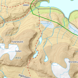
Elevation profile
997 metres of climbing and 13.06 km from Haugastøl, eleven of those kilometres approach and one short step out of Folarskardet all there is of steep ground.
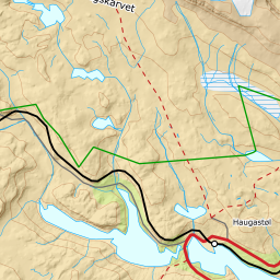
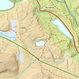
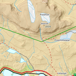
From the car park on Rv7 at Haugastøl, 1007 m, you follow the marked DNT winter route toward Raggsteindalen northward. The first eleven kilometres are the approach: over the rise at 1212 m, out onto the flats below Folarskardet at 1326 m, and some 600 metres of climbing spread so thinly that the band between 1200 and 1300 m averages 2.1 degrees. This is poling, not skinning. Along the way the line runs on ice three times: Tjørngravtjørni at 1098 m twice, 135 and 45 metres, and an unnamed tarn at 1230 m for 45. None is regulated and no crossing goes more than 48 metres from shore — these are small high-country tarns the marked route runs straight over — but on a day where the rest of the approach is firm ground they are worth knowing about.
Route description, descent and avalanche terrain open with a subscription — 14 days free, then 29 kr/month.
Start free trial