Forkledalstindan
985 metres of ascent over 5.41 km from the E10 at Litlvatnet to Forkledalstindan — a tour that changes character halfway. Fri Flyt gives the south side KAST 2 – Challenging up to the 700 m top, where many turn round and ski down; the traverse on to the main summit at 901 is KAST 3 – Complex, with downclimbing on snow or rock depending on conditions. The source's «700 metres of ascent» is the ski tour, not the mountain. Grade 4.
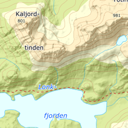
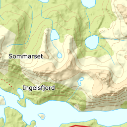
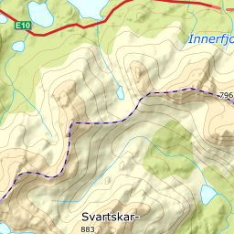
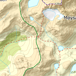
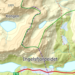
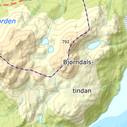
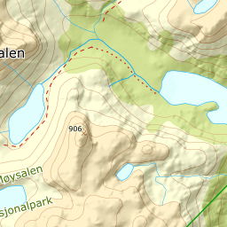
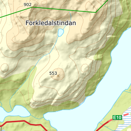
Elevation profile
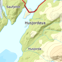
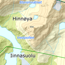
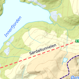
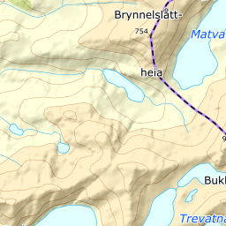
985 metres of ascent over 5.41 km from Litlvatnet: the north side of spot height 462, the mountainside to the 700 m top — and the traverse on to the cairn at 901.
From the car park at Ingelsfjordeidet — 23 m — the same start as Lakselvtindan: the north shore of Storvatnet at 85, and up to north of spot height 258. The line keeps to land where the source crosses the ice, as the book's own Forkledalen route from this car park does.
Route description, descent and avalanche terrain open with a subscription — 14 days free, then 29 kr/month.
Start free trialMore tours in Vesterålen
- Stortinden i Sortland1020 m · Expert
- Møysalen1264 m · Expert
- Forselvtinden907 m · Expert
- Lakselvtindan747 m · Demanding
- Sebortinden831 m · Expert
- Kvasstinden832 m · Moderate