Forselvtinden
1180 metres of ascent over 8.29 km from the Møysalen car park on the E10 to Forselvtinden — the longest tour of the round, and the only route in the app that crosses the summit of another tour on the way. The source's own description opens with «follow the route up Lakselvtindan», and it is 747 m you stand on before carrying on west. 296 of those metres you give back. Fri Flyt gives KAST 2 – Challenging, but asks you to consider whether the skis should come up: grade 4.
Elevation profile
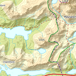
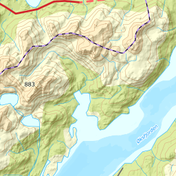
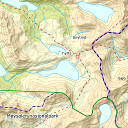
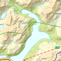
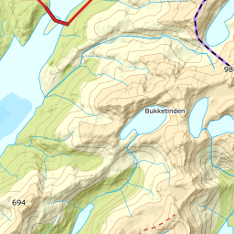
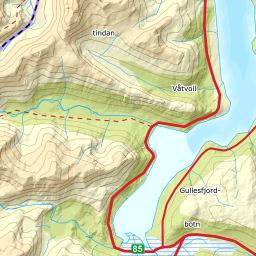
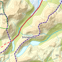
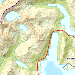
1180 metres of ascent over 8.29 km from the Lofast: over Lakselvtindan at 747, west to north of spot height 790 — and the south ridge to the cairn at 907.
From the car park — 23 m — as on Lakselvtindan: the north shore of Storvatnet at 85, north of spot height 258, and 217 m where Lakselva is crossed eastward. The forest lets go at 220 m after 2.48 km, and the band from 300 to 400 is the steepest on average at 19.0 degrees over 313 metres of ground.
Route description, descent and avalanche terrain open with a subscription — 14 days free, then 29 kr/month.
Start free trialMore tours in Vesterålen
- Stortinden i Sortland1020 m · Expert
- Møysalen1264 m · Expert
- Forkledalstindan901 m · Expert
- Lakselvtindan747 m · Demanding
- Sebortinden831 m · Expert
- Kvasstinden832 m · Moderate