Gangnesaksla
1306 metres of ascent over 4.90 km from the power station in Sørskjomen — nearly the whole mountain from the fjord, with the 25 square kilometres of the Frostisen glacier in view and the couloir the local paper calls Norway's longest below the northeast edge. Fri Flyt rates it KAST 2 – Challenging; the normal route on the south side measures 20.0 degrees in its steepest hundred-metre band and 26.0 in its steepest sustained stretch. The couloir is variant terrain with its own gear list, and it is not the line on this card.
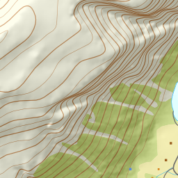
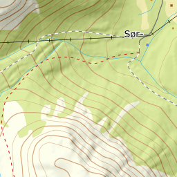
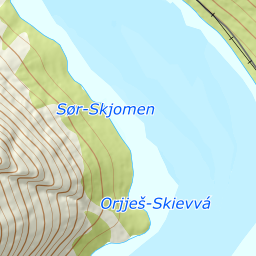
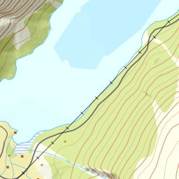
Elevation profile
1306 metres of ascent and 4.90 km from the power station in Sørskjomen via the dam at the treeline and the shelf at 800, with the forest limit at 600 m and the steepest ground — 26.0 degrees between 1155 and 1174 m — below the northeast ridge.
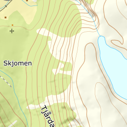
From the parking outside the power station — OSM maps Skarelva kraftverk, the station with the glass-and-stone facade the source describes, 20 m. The works road follows Vesterskarelva up the valley: the band from 100 to 200 m measures 18.8 degrees, and you follow the stream to the small dam at the treeline at 539. The forest ends at 600 m after 2.56 km.
Route description, descent and avalanche terrain open with a subscription — 14 days free, then 29 kr/month.
Start free trialMore tours in Narvik
- Spanstinden1457 m · Moderate
- Rombakstøtta1231 m · Demanding
- Beisfjordtøtta1448 m · Demanding
- Litletind1100 m · Moderate
- Skjomtinden1576 m · Expert