Gaustatoppen
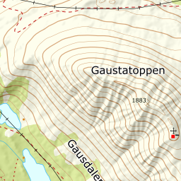
The most prominent peak in southern Norway, and one of the gentlest to climb on skis: 973 metres of ascent from Langefonn, and not a single step over 25° on the way up.
Elevation profile
922 to 1,882 m over 4.42 km. The steepest hundred metres measures 15.8°, and nothing on the line passes 25°.
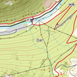
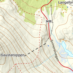
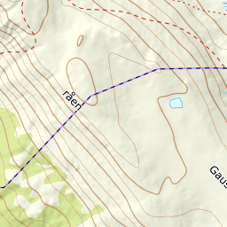
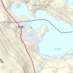
From the car park at Langefonn turisthytte, 922 m, follow the winter-closed road towards Stavsro. After 850 metres you are at Svineroisetra, 1,021 m — that is the kilometre the descriptions mean. The birch belt lets go at around 970 m, and from there it is open mountain. The east ridge can also be reached from Stavsro with 706 metres of climbing, but that road is closed in winter.
Route description, descent and avalanche terrain open with a subscription — 14 days free, then 29 kr/month.
Start free trial