LofotenExpertSeason Feb–Apr
Geitgaljen
1071 metres of climbing from the fjord in 3.80 km, and the entire line lies in avalanche terrain. Topptursentralen grades the tour KAST 4 — extreme — and the top 157 metres average 42 degrees and require crampons and an axe.
Summit
1085 m
Vertical gain
↑ 1070 m
Typical time
4–6 h
Grade
Expert
Aspect
NW
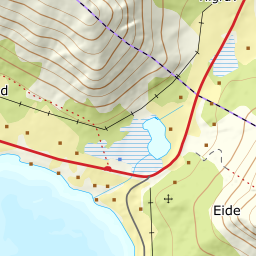
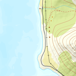
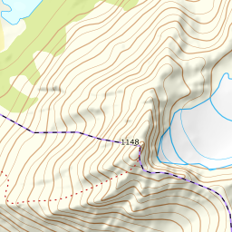
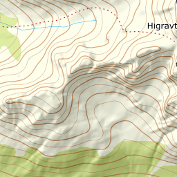
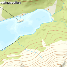
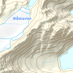
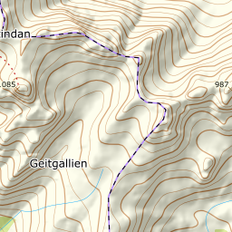
Elevation profile
1071 metres of climbing and 3.82 km from Liland; the gully at 250–360 m is 35 degrees, and the top 174 metres 42.
Start at the road end in Geitgallien by Skinvollen at the head of Austnesfjorden, 20 m. Follow the floodlit trail for a stretch and on into Lilandsdalen through the birch forest. The first eight hundred metres barely climb — 6 degrees on average — and that is the only flat part of the tour.
Route description, descent and avalanche terrain open with a subscription — 14 days free, then 29 kr/month.
Start free trialMore tours in Lofoten
- Pilan826 m · Demanding
- Torskmannen755 m · Demanding
- Rundfjellet803 m · Moderate
- Kleppstadheia534 m · Easy
- Varden (Småtindan)700 m · Moderate
- Himmeltindan956 m · Demanding
- Justadtinden736 m · Moderate
- Stornappstinden740 m · Moderate