NordfjordModerateSeason Dec–Apr
Glitregga
906 metres of climbing over 4.45 km from the sports ground in Randabygd, south-facing and even the whole way. The steepest sustained section on the line measures 23.8 degrees — a full day in vertical metres and an easy one in angle.
Summit
1297 m
Vertical gain
↑ 900 m
Typical time
4–6 h
Grade
Moderate
Aspect
S
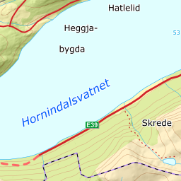
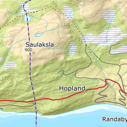
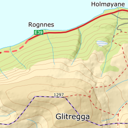
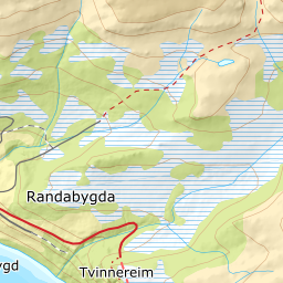
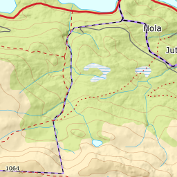
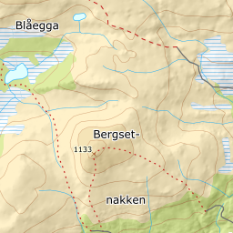
Elevation profile
901 metres of climbing and 4.38 km from Randabygd sports ground, with the treeline at 748 m and the steepest hundred-metre band between 900 and 1000 m.
Start at the car park by the sports ground in Randabygd, 398 m on Ålandsleite. Follow the gravel road north-east; the first kilometre is nearly flat, with the band from 400 to 500 m at 5.4 degrees over 1125 metres of ground.
Route description, descent and avalanche terrain open with a subscription — 14 days free, then 29 kr/month.
Start free trialMore tours in Nordfjord
- Skåla1848 m · Demanding
- Skarsteinsfjellet1567 m · Moderate
- Lodalskåpa2082 m · Expert