Glittertinden
Norway's second highest summit, and a surprisingly gentle tour: the steepest sustained section on the whole line measures 18.5 degrees. What it costs you is distance — 13.32 km each way, seven of them pure approach up Veodalen — and the fact that the upper part lies on Glitterbrean.
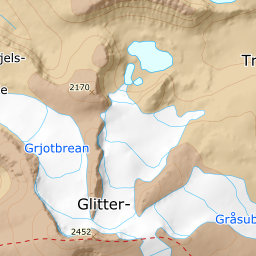
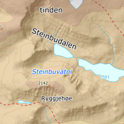
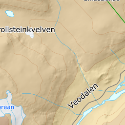
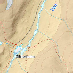
Elevation profile
1228 metres of climbing and 13.32 km from Veodalen, where the first seven kilometres to Glitterheim rise at 0.9 degrees.
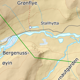
Start at the gravel car park at the national park boundary in Veodalen, 1297 m. From here follow the car-free road south-west along the Veo for seven kilometres to Glitterheim at 1385 m. Seven kilometres for 88 metres of height: the band between 1300 and 1400 m averages 0.9 degrees over nearly seven kilometres, and it is the flattest stretch on any tour in this app. Reckon on an hour or so each way before the mountain begins.
Route description, descent and avalanche terrain open with a subscription — 14 days free, then 29 kr/month.
Start free trialMore tours in Jotunheimen
- Galdhøpiggen2469 m · Demanding
- Besshø2257 m · Demanding
- Rasletinden2104 m · Moderate