Gråfjell
595 metres of climbing over 8.04 km from Tempelsetra to the highest point on Norefjell. The route is gentler than its neighbours — the steepest hundred-metre band, 1300 to 1400 m, measures 10.0 degrees — and longer than all of them. The difficulty is not the gradient but that the landmarks on the first five kilometres are tarns.
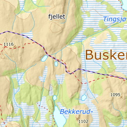
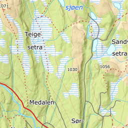
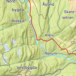
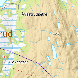
Elevation profile
581 metres of climbing and 7.84 km from Tempelsetra past Istjenn, Vesletjenn and Donkelitjenn, with the treeline at 971 m and the steepest hundred-metre band between 1300 and 1400 m.
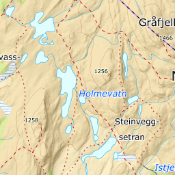
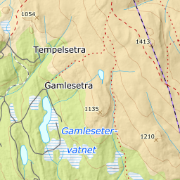
Start behind the Tempelsetra café, 910 m, and follow the track toward Istjenn. The forest lets go already at 971 m, and at 950 m the route goes out onto Istjenn — Kartverket classes the point as lake, and it is the first of two waters the route goes out onto the ice of — Donkelitjenn is the other.
Route description, descent and avalanche terrain open with a subscription — 14 days free, then 29 kr/month.
Start free trialMore tours in Norefjell
See all the tours