Gullfjellstoppen
839 metres of climbing and 7.8 km from the road end at Osavatnet to the highest point in Bergen. This is the gentlest tour in the collection: no hundred-metre band of the line averages more than 8.1 degrees, and the steepest sustained section is a single 27.4-degree step. The hazard is not in the route but in its last hundred metres — the summit dome is gentle, and the west side falls 59.0 degrees 200 to 260 metres from the cairn.
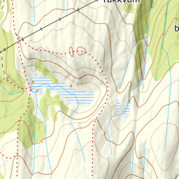
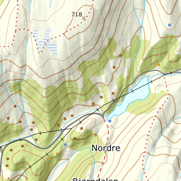
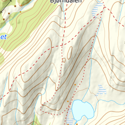
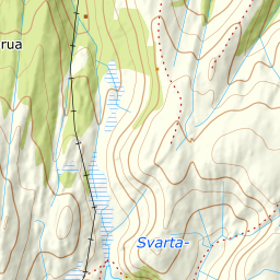
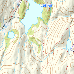
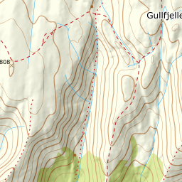
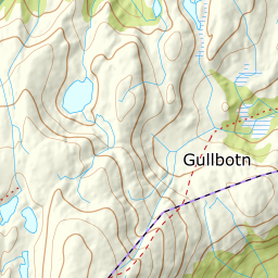
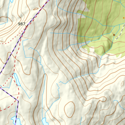
Elevation profile
839 metres of climbing and 7.8 km from Osavatnet, with the steepest ground — a 27.4-degree step between 709 and 727 m — halfway up.
From the paid car park at the end of Gullfjellsvegen, 307 m, at the head of Bjørndalen. The first two kilometres follow a gravel road and are all but flat: the band from 300 to 400 m averages 2.5 degrees over 2.1 km of ground. The forest stops at 324 m, and everything above that is classed as open ground by Kartverket — this is a tour with no treeline to speak of.
Route description, descent and avalanche terrain open with a subscription — 14 days free, then 29 kr/month.
Start free trial