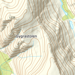
Gygrastolen
1267 metres of climbing from 90 m — fjord to summit over 5.96 km, with the Folgefonna icecap straight ahead of you on the ridge. The steepest sustained section measures 25.4 degrees, so it is the length and not the angle that decides the day.
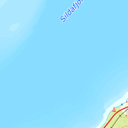
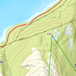
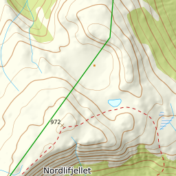
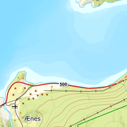
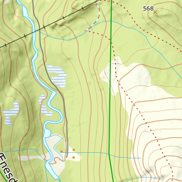
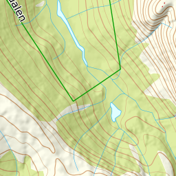
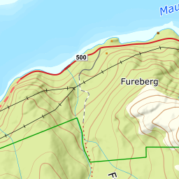
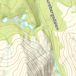
Elevation profile
1267 metres of climbing and 5.96 km from Ænes over Gygrastølvatnet, with the treeline at 590 m and the ridge above 1300 m at 4.7 degrees.
Start where the construction road turns uphill from Ænes, 90 m; the church the route description mentions sits at 41 m down by the fjord. The first hundred metres of climbing run at 6.3 degrees, and then the road gets to work: 11.3 degrees from 100 to 200 m and 12.9 from 200 to 300.
Route description, descent and avalanche terrain open with a subscription — 14 days free, then 29 kr/month.
Start free trialMore tours in Hardanger
- Oksen1241 m · Moderate
- Vesoldo1046 m · Moderate
- Juklavasstinden1361 m · Demanding
- Melderskin1426 m · Demanding
- Englafjell1200 m · Demanding