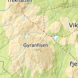
Gyranfisen
666 metres of climbing over 5.36 km from Vikerkoia, 661 m, to the highest point in Ringerike at 1127 m. The difference between those two figures is the dip: the route climbs onto Svarttjernskollen, 1054 m, drops toward Fjelldalen and climbs again, giving back 200 metres that come back as climbing on the way home.
Elevation profile
666 metres of climbing and 5.36 km from Vikerkoia over Svarttjernskollen, with the treeline at 946 m and 200 metres of height given back in the dip on the way.
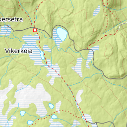
Start at the car park by Vikerkoia on Vikerseterveien, 661 m — Kartverket classes the point as bog, which is an accurate description of Vikerfjell. The first metres of climbing are gentle, 5.1 degrees from 600 to 700 m, before the forest takes over at 698 m.
Route description, descent and avalanche terrain open with a subscription — 14 days free, then 29 kr/month.
Start free trial