TromsExpertSeason Feb–May
Hamperokken
A moderate ski tour with an expert's finish. 1383 metres of climbing from Fv91 up a broad north-west ridge that never exceeds 26 degrees — and then 1.7 kilometres of exposed ridge on foot from Middagsaksla, with crampons, an axe and a summit step of 38 degrees.
Summit
1397 m
Vertical gain
↑ 1389 m
Typical time
5–7 h
Grade
Expert
Aspect
NW
Elevation profile
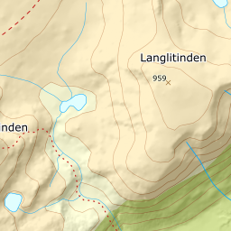
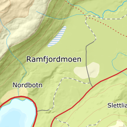
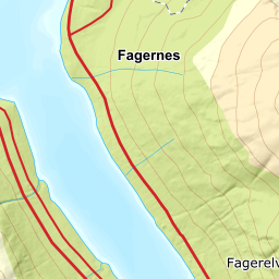
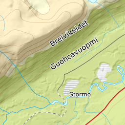
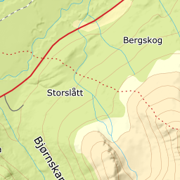
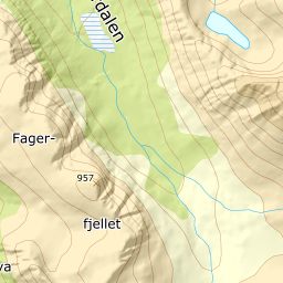
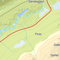
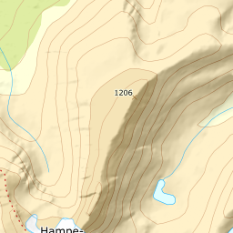
1383 metres of climbing and 5.64 km from Fv91. The skiing ends at Middagsaksla, 1076 m; the last 1.7 km on foot give back 47 metres of height on the way.
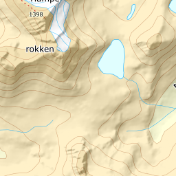
From the car park on Fv91 below Vartavarhaugen, 65 m, the route runs east over Vartavarhaugen at 159 m and crosses the Tverrelva. The birch gives up at around 390 m, and above 403 m the ground is open the rest of the way.
Route description, descent and avalanche terrain open with a subscription — 14 days free, then 29 kr/month.
Start free trialMore tours in Troms
- Store Skalltinden901 m · Demanding
- Store Blåmann1044 m · Demanding
- Kjølen790 m · Easy
- Rødtinden470 m · Easy
- Storfjellet1088 m · Demanding
- Skarlitinden858 m · Moderate
- Tromsdalstinden1238 m · Moderate
- Gabrielfjellet1214 m · Demanding
- Fagerfjellet957 m · Moderate
- Vestre Istinden1489 m · Demanding