SenjaModerateSeason Jan–Apr
Hesten (Segla)
Senja's shortest big day: 512 metres from Fjordgård up a broad southeast-facing flank, with Segla right in front of you from the summit ridge. Two to four hours car to car.
Summit
556 m
Vertical gain
↑ 510 m
Typical time
2–4 h
Grade
Moderate
Aspect
S
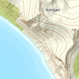
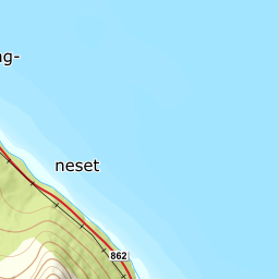
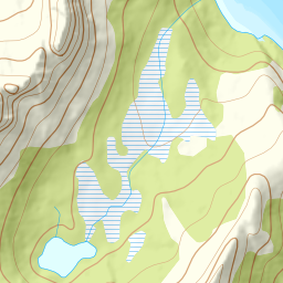
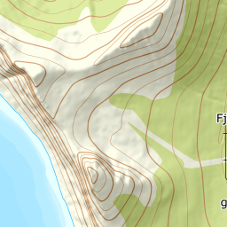
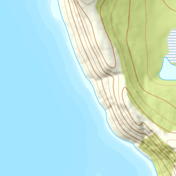
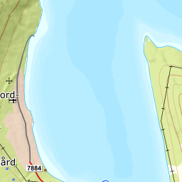
Elevation profile
512 metres from Fjordgård; the flank averages 20 degrees where it is steepest, between 300 and 400 m.
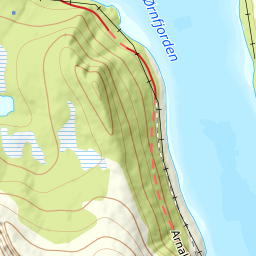
From the pay car park in Fjordgård, 48 m, walk up the road named Segla and on up the old alpine slope. The first half-kilometre is flat, and the path is well boardwalked where the ground is wet. At upper Fjordgård, 49 m, the sign marks where the waymarked path leaves — that is where the tour really starts.
Route description, descent and avalanche terrain open with a subscription — 14 days free, then 29 kr/month.
Start free trialMore tours in Senja
- Keipen938 m · Demanding
- Husfjellet632 m · Easy
- Breitinden1007 m · Expert
- Skolpan777 m · Easy
- Tredje Svanfjell899 m · Moderate
- Lonketinden845 m · Moderate