Himmeltindan
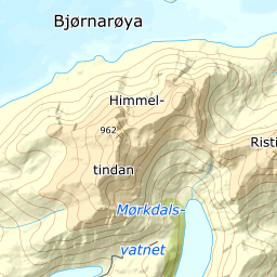
Vestvågøy's highest mountain, starting on the shore at Haukland and climbing 988 m in just under four kilometres. A short tour, but the last third is steep and the summit ridge is narrow.
Elevation profile
988 m of climbing from the shore at Haukland over 3.89 km; the steep ground sits between 500 and 600 m.
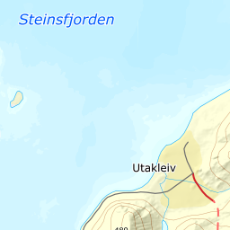
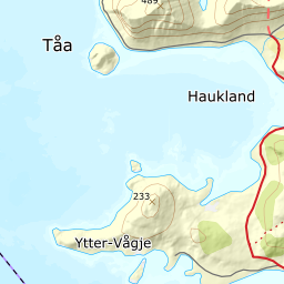
From the car park at Hauklandstranda, six metres above the sea, head north toward the southern portal of the tunnel to Utakleiv. Not through the tunnel: take the service road that climbs north-east over it, past Klumpan, and follow it until it levels out on the bench at 150 m at the mouth of Durmålsdalen. The marked path starts here, and it runs all the way up to the cairn at 931. The car park charges year round, by machine or app; it is priced by the hour and time-limited to keep the beach turning over, so pay for the whole tour before you set off.
Route description, descent and avalanche terrain open with a subscription — 14 days free, then 29 kr/month.
Start free trialMore tours in Lofoten
- Pilan826 m · Demanding
- Geitgaljen1085 m · Expert
- Torskmannen755 m · Demanding
- Rundfjellet803 m · Moderate
- Kleppstadheia534 m · Easy
- Varden (Småtindan)700 m · Moderate
- Justadtinden736 m · Moderate
- Stornappstinden740 m · Moderate