Høgevarde
598 metres of climbing over 4.78 km from Tempelseter, on a staked and usually groomed track. No part of the ascent is steep: the steepest sustained section measures 19.5 degrees, between 1179 and 1195 m, and the steepest hundred-metre band, 1200 to 1300 m, averages 11.8 degrees. What you plan around here is the weather and the east side, not the gradient under your skins.
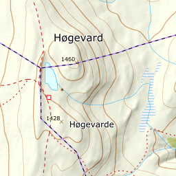
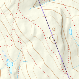
Elevation profile
598 metres of climbing and 4.78 km from Tempelseter, the whole route above the treeline, with the DNT hut at 1397 m and the summit 560 metres further north-east.
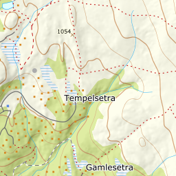
Start at the car park by Tempelseter, 910 m, and climb to the right of the ski slope. The track is staked and usually groomed, and the first hundred metres of climbing are the gentlest on the tour: the band from 900 to 1000 m measures 3.9 degrees over 1305 metres of ground.
Route description, descent and avalanche terrain open with a subscription — 14 days free, then 29 kr/month.
Start free trialMore tours in Norefjell
See all the tours