Horndalsnuten
1121 metres of climbing over 5.93 km from Skiple in Raundalen, with a kilometre and a half of flat approach before the ground starts to rise. The steepest sustained section measures 31.4 degrees between 1093 and 1116 m — north-facing, and the final pitch to the summit is the steepest part of the route.
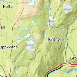
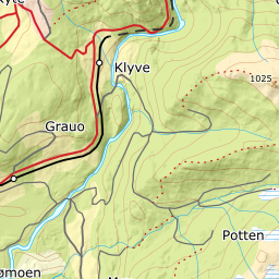
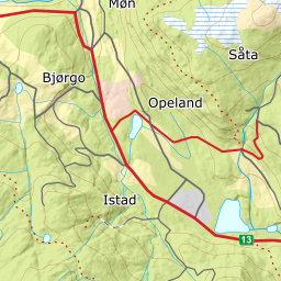
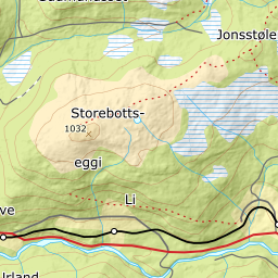
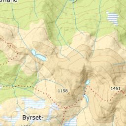
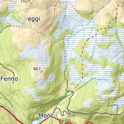
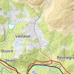
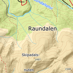
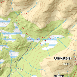
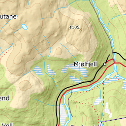
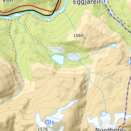
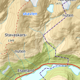
Elevation profile
1121 metres of climbing and 5.93 km from Skiple through Horndalsbotnen, with the treeline at 781 m and the shoulder at 1153 m before the summit pitch.
Start at the mapped car park by the bridge over Raundalselvi at Skiple, 398 m, about twenty kilometres east of Voss. The first 1490 metres of ground are near-flat — the band from 300 to 400 m measures 0.8 degrees — and the route crosses the river early.
Route description, descent and avalanche terrain open with a subscription — 14 days free, then 29 kr/month.
Start free trialMore tours in Voss
- Finnbufjellet1357 m · Moderate
- Storanosi1205 m · Moderate
- Lønahorgi1412 m · Moderate
- Vatnaknausen1302 m · Moderate