Hornindalsrokken
1460 metres of climbing over 7.28 km from Langøylia, along a south ridge that rises and falls — 321 metres are given back on the way up. The last 103 are on a narrow, exposed rib where the steepest sustained section measures 40.5 degrees, and that is where most people take the skis off.
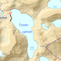
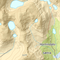
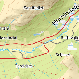
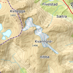
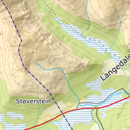
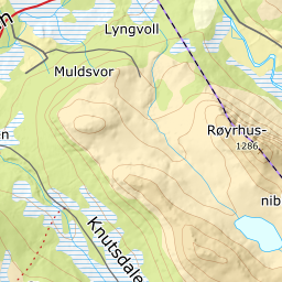
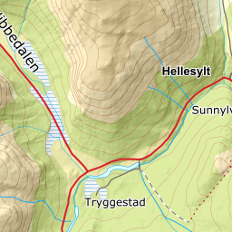
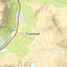
Elevation profile
1460 metres of climbing and 7.28 km from Langøylia over Aksla, Trollaksla and Sætrenibba, with the east rib from 1424 m as the stretch most people walk.
Start at the west end of the cabin road in Langøylia, 388 m, between Hellesylt and Hornindal. Climb the slope through open birch forest, east of Gjøelva; the forest holds to 673 m, and the band from 600 to 700 m measures 18.9 degrees.
Route description, descent and avalanche terrain open with a subscription — 14 days free, then 29 kr/month.
Start free trialMore tours in Sunnmøre
- Auskjeret1203 m · Moderate
- Jønshornet1417 m · Expert
- Ytstevasshornet1331 m · Demanding
- Råna1587 m · Demanding
- Kolåstinden1432 m · Demanding
- Vassdalstinden1278 m · Demanding
- Saudehornet1303 m · Demanding
- Slogen1564 m · Expert
- Torvløysa1851 m · Moderate
- Skårene1830 m · Demanding
- Melshornet809 m · Easy
- Jakta1589 m · Demanding
- Skårasalen1542 m · Demanding
- Kvitegga1700 m · Demanding
- Sunndalsnipa1395 m · Moderate
- Eidskyrkja1482 m · Demanding