Husfjellet
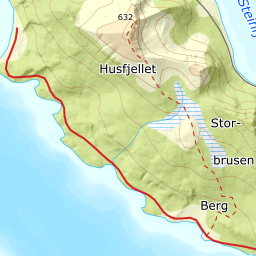
640 metres of ascent over 3.29 km from the church at Skaland to Husfjellet, the mountain Fri Flyt calls «det fjellet i Norge som gir mest utsikt for minst innsats» — the mountain in Norway that gives the most view for the least effort. The tour starts at the shore at 3 m and stays gentle throughout: the steepest hundred-metre band measures 17.1 degrees between 100 and 200 m, and the steepest sustained stretch 19.6 — well inside Fri Flyt's «Bratteste punkt: Under 27 grader». The hazard is not in the route but in the final arête and the cornices.

Elevation profile
640 metres of ascent over 3.29 km from Skaland, with the steepest ground — 19.6 degrees between 124 and 140 m — down in the forest, 0.63 km in.
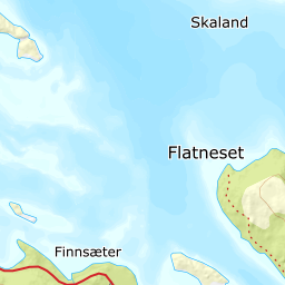
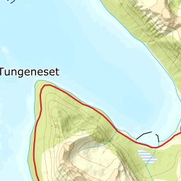
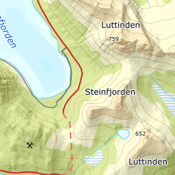
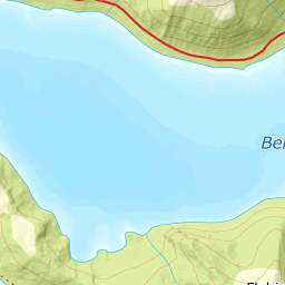
From the church at Skaland, 3 m, on Fv. 862 — the main road to Senjahopen and Mefjord, ploughed year round. The line follows Dronningstien as the source says, and that path is mapped: the chain from the car park to the cairn is in OSM, and the corridor is pinned to it. The first hundred metres of height are the steepest the tour has — the band from 100 to 200 m measures 17.1 degrees over 335 metres of ground, and the steepest sustained stretch sits here: 19.6 degrees between 124 and 140 m, 0.63 km in. So the steep ground is in the forest, not on the mountain.
Route description, descent and avalanche terrain open with a subscription — 14 days free, then 29 kr/month.
Start free trialMore tours in Senja
- Hesten (Segla)556 m · Moderate
- Keipen938 m · Demanding
- Breitinden1007 m · Expert
- Skolpan777 m · Easy
- Tredje Svanfjell899 m · Moderate
- Lonketinden845 m · Moderate