HardangerDemandingSeason mars–May
Juklavasstinden
1341 metres of climbing over 7.16 km from Myrdalsvatnet — and 347 of them are given back along the way. The route climbs onto the ridge above Omnetjørnene, drops east toward Møsetjørna and takes the north ridge to a summit that carries a cornice.
Summit
1361 m
Vertical gain
↑ 1340 m
Typical time
6–8 h
Grade
Demanding
Aspect
NW
Elevation profile
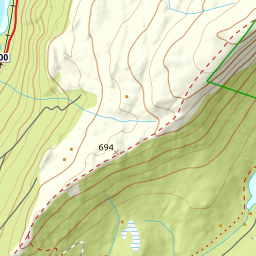
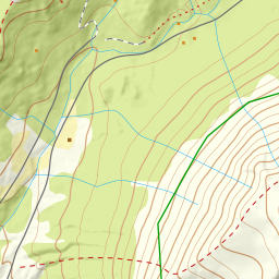
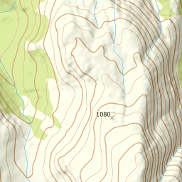
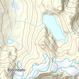
1341 metres of climbing and 7.16 km from Myrdalsvatnet over the ridge at 1033 m and Møsetjørna at 755, with the north ridge from 865 m to the cairn.
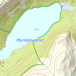
Start by the road at Myrdalsvatnet, 367 m, in Uskedalen. Follow the road back a little to a tractor road and follow that until Nipelva comes into view. The forest holds to 668 m.
Route description, descent and avalanche terrain open with a subscription — 14 days free, then 29 kr/month.
Start free trialMore tours in Hardanger
- Oksen1241 m · Moderate
- Vesoldo1046 m · Moderate
- Gygrastolen1347 m · Demanding
- Melderskin1426 m · Demanding
- Englafjell1200 m · Demanding