Justadtinden
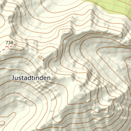
733 metres of ascent over 2.88 km from the Justad farm to the highest summit on Vestvågøy's east side — gentle, playful ski terrain by the sources, with Vågakallen and Henningsvær below the cairn. No hundred-metre band measures more than 22.6 degrees, and the steepest sustained stretch is 29.8. Fri Flyt's Lofoten pages are older and carry no KAST; what they carry is the hazards, and they are measurable: the cornices toward the northeast hang over a side falling 41 degrees mean.
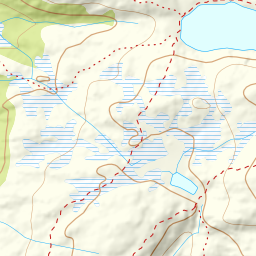
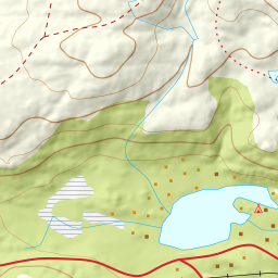
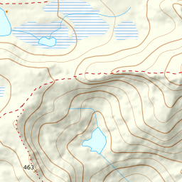
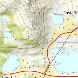
Elevation profile
733 metres of ascent and 2.88 km from Justad over Skjærheia, with no forest to speak of along the line, and the steepest ground — 29.8 degrees between 363 and 389 m — mid-ridge.
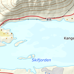
From the Justad farm on the fv. 815 — 14 m on farmland, parking along the road as the source says. The hillside above the farm is open practically from the shore: the terrain classes along the line hold no continuous forest at all, so the whole tour reads from the car. The band from 0 to 100 m measures 11.7 degrees.
Route description, descent and avalanche terrain open with a subscription — 14 days free, then 29 kr/month.
Start free trialMore tours in Lofoten
- Pilan826 m · Demanding
- Geitgaljen1085 m · Expert
- Torskmannen755 m · Demanding
- Rundfjellet803 m · Moderate
- Kleppstadheia534 m · Easy
- Varden (Småtindan)700 m · Moderate
- Himmeltindan956 m · Demanding
- Stornappstinden740 m · Moderate