LyngenDemandingSeason Mar–May
Kavringtinden
Lyngseidet's home peak, and 1252 metres of climbing straight up from the fjord. Ridge on the way up, Østrenna on the way down — the big east-facing gully north of the summit gathers the best snow on the mountain and holds it well into May.
Summit
1289 m
Vertical gain
↑ 1250 m
Typical time
5–7 h
Grade
Demanding
Aspect
N
Elevation profile
1252 metres from Eidebakken to the cairn; the steepest hundred lies between 800 and 900 m, at 24.5 degrees on average.
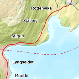
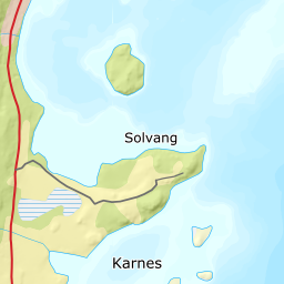
From the car park at Eidebakken, 62 m, follow the forest road up the east side of Gjerdelva. You pass Rødsteinen in the birch forest around 200 m and carry on up the ridge east of the river. The route never crosses Gjerdelva — if you are crossing water, you are off the line.
Route description, descent and avalanche terrain open with a subscription — 14 days free, then 29 kr/month.
Start free trialMore tours in Lyngen
- Storgalten1219 m · Demanding
- Fastdalstinden1275 m · Demanding
- Rørnestinden1030 m · Moderate