Kjerag
A summit that is not a summit. Kjerag is a plateau and the high point is a spot on it: 200 metres to the south the ground stands 1.5 metres higher, and the line itself crosses 1129 m before giving back 66 metres and climbing again to 1124. 620 metres of ascent over 7.36 km, and the one serious thing on the tour lies two kilometres away and has nothing to do with the angle.
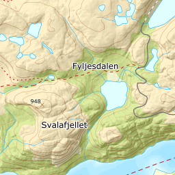
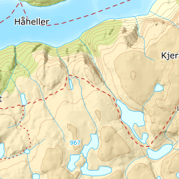
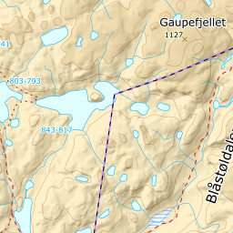
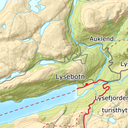
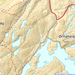
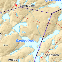
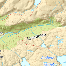
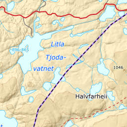
Elevation profile
620 metres of ascent and 7.4 km across the Kjerag plateau, where the steepest 30 metres is 24.4 degrees on a road bend and the danger lies 1850 metres north of the high point.
From the car park at Øygardstøl, 641 m, you follow Lysevegen south. The road is closed in winter — OSM carries motor_vehicle:conditional=no @ Nov-May and snowplowing=no on county road 4224, and Sirdal kommune confirms it — so this is a spring tour and not a winter one. The line here never runs more than 100 metres from mapped road, but it cuts the hairpins: the steepest 30-metre step on the whole route, 24.4 degrees between 673 and 687 m, sits 86 metres off the roadway and is a corner rather than a gradient.
Route description, descent and avalanche terrain open with a subscription — 14 days free, then 29 kr/month.
Start free trial