Kjølen
578 metres of climbing and 4.11 km from Finnvikvatnet to the radar at 790 m — one of Kvaløya's most-visited summits, and a mountain with no steep section on the route at all. The steepest hundred-metre band is 12.6 degrees between 300 and 400 m, and the steepest step 24.9 between 605 and 620. What is steep on Kjølen faces north, and the route goes east.
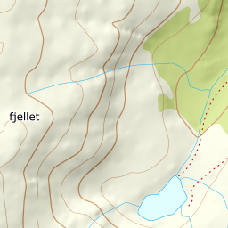
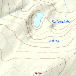
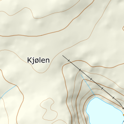
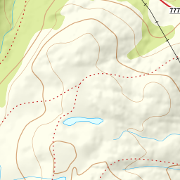
Elevation profile
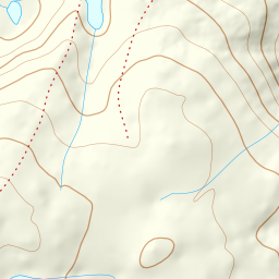
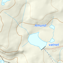
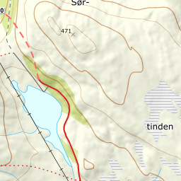
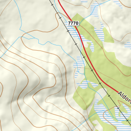
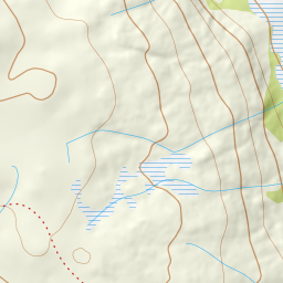
578 metres of climbing and 4.11 km from south of Finnvikvatnet at 224 m, up the valley past 440 and the east side past 572 and 703 to the summit plateau at 774.
Start south of Finnvikvatnet, 224 m, which is where ut.no started: «we parked on the south side of Finvikvatnet, one of many starting points.» The mapped car park is 640 metres further north at the east end of the lake, and you can walk from there — but not across the ice: the water surface is 229 m and the land east of it 254 to 265, so the way is round rather than over. Fri Flyt describes four starting points for this mountain and calls this one «a slightly shorter alternative with less climbing».
Route description, descent and avalanche terrain open with a subscription — 14 days free, then 29 kr/month.
Start free trialMore tours in Troms
- Store Skalltinden901 m · Demanding
- Store Blåmann1044 m · Demanding
- Rødtinden470 m · Easy
- Storfjellet1088 m · Demanding
- Skarlitinden858 m · Moderate
- Tromsdalstinden1238 m · Moderate
- Gabrielfjellet1214 m · Demanding
- Hamperokken1397 m · Expert
- Fagerfjellet957 m · Moderate
- Vestre Istinden1489 m · Demanding