Kleppstadheia
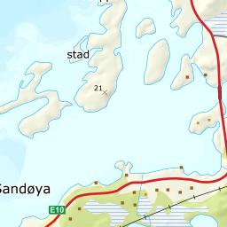
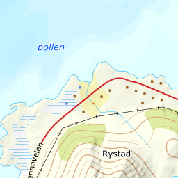
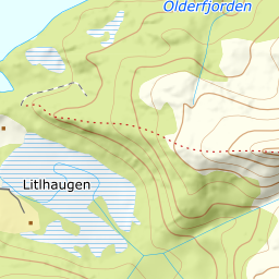
525 metres of ascent over 2.19 km from Kleppstadveien south of the Gimsøy bridge — the tour Fri Flyt itself uses to practise track-setting: «using the terrain to set a sensible, good track.» The gentle, broad field toward the summit keeps that promise — 20.9 degrees in the steepest 100 m band — and the steepest sustained stretch, 32.9 degrees between 111 and 136 m, sits down in the forest step. From the cairn you see Gimsøya, Vestfjorden and Himmeltindan to the west.
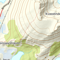
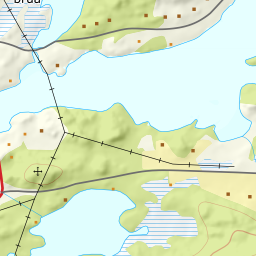
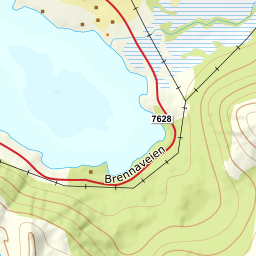
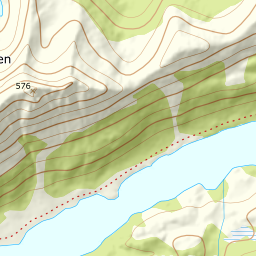
Elevation profile
525 metres of ascent and 2.19 km from Kleppstadveien up the ridge toward point 156 and the broad field, with the treeline at 232 m and the steepest ground — 32.9 degrees between 111 and 136 m — down in the forest.
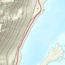
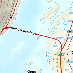
From the parking along Kleppstadveien on the south side before the Gimsøy bridge — 16 m, with the register's Kleppstad a couple of hundred metres away. You set the track up the ridge toward point 156: the tour's steepest stretch sits here, 32.9 degrees between 111 and 136 m, in the forest — the band from 100 to 200 measures 20.2 degrees, and the forest ends at 232 m after 1.17 km.
Route description, descent and avalanche terrain open with a subscription — 14 days free, then 29 kr/month.
Start free trialMore tours in Lofoten
- Pilan826 m · Demanding
- Geitgaljen1085 m · Expert
- Torskmannen755 m · Demanding
- Rundfjellet803 m · Moderate
- Varden (Småtindan)700 m · Moderate
- Himmeltindan956 m · Demanding
- Justadtinden736 m · Moderate
- Stornappstinden740 m · Moderate