SunnmøreDemandingSeason Feb–May
Kolåstinden
Sunnmøre's best-known ski summit. A gentle valley the whole way in, then a north-facing passage over 45°, a glacier — and a summit a metre and a half wide.
Summit
1432 m
Vertical gain
↑ 1120 m
Typical time
5–7 h
Grade
Demanding
Aspect
N
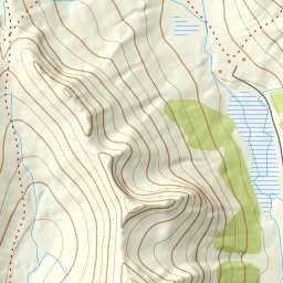
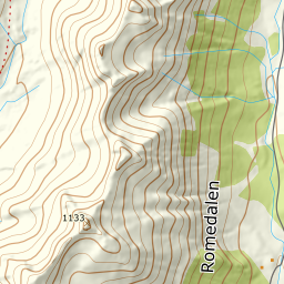
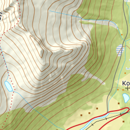
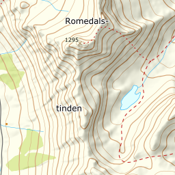
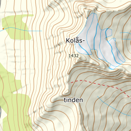
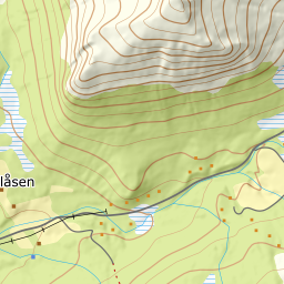
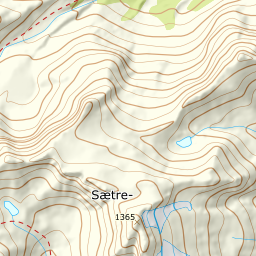
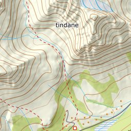
Elevation profile
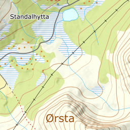
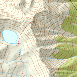
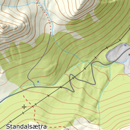
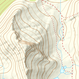
376 m at Standaleidet to 1432 on Kolåstinden — 1120 vertical metres over 5.67 kilometres, glacier from 1173 m.
From the car park at Standaleidet, 376 m, you follow the cleared track north toward Fossane below Søre Sætretind. The forest lets go already at 410 m, and the waterfall marks the mouth of Kvanndalen.
Route description, descent and avalanche terrain open with a subscription — 14 days free, then 29 kr/month.
Start free trialMore tours in Sunnmøre
- Auskjeret1203 m · Moderate
- Jønshornet1417 m · Expert
- Ytstevasshornet1331 m · Demanding
- Råna1587 m · Demanding
- Vassdalstinden1278 m · Demanding
- Saudehornet1303 m · Demanding
- Slogen1564 m · Expert
- Torvløysa1851 m · Moderate
- Skårene1830 m · Demanding
- Melshornet809 m · Easy
- Jakta1589 m · Demanding
- Skårasalen1542 m · Demanding
- Kvitegga1700 m · Demanding
- Hornindalsrokken1527 m · Expert
- Sunndalsnipa1395 m · Moderate
- Eidskyrkja1482 m · Demanding