Kråkfjellet
471 metres of climbing and 9.60 km from Håen to the highest point in Trondheim municipality. It is a long, gentle day: the band from 400 to 500 m measures 1.2 degrees over 4505 metres of ground, and the steepest place on the whole line is 16.1 degrees between 467 and 480 m.
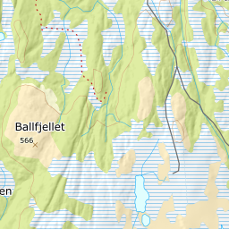
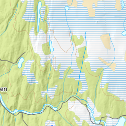
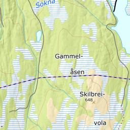
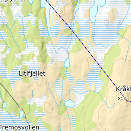
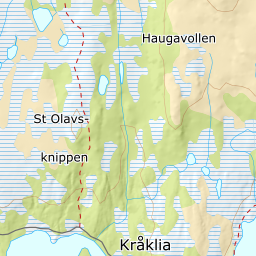
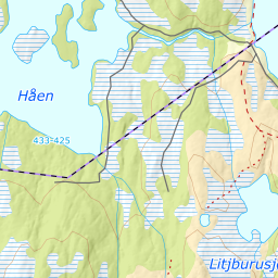
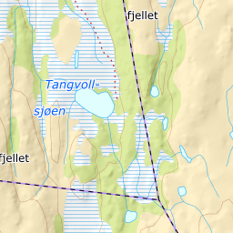
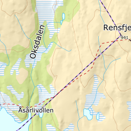
Elevation profile
471 metres of climbing and 9.60 km from Håen by Kråklivollen at 452 m and Rundtjønnin at 526, with the last 149 metres of ground above 800 m.
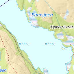
Start at the car park by Håen, 411 m — a toll road from Lundamo, normally ploughed the 18 kilometres in. The ploughing stops here; the road does not. Lundadalsvegen carries on unploughed for 2.6 kilometres east along the north side of the lake, and that is the forest road ut.no sends you along — «the forest road or the shoreline N on Håen due E». The line on the map follows the road.
Route description, descent and avalanche terrain open with a subscription — 14 days free, then 29 kr/month.
Start free trialMore tours in Trøndelag
- Vassfjellet711 m · Easy
- Rensfjellet942 m · Moderate