SunnfjordDemandingSeason Dec–May
Kvamshesten
830 metres of climbing over 5.34 km from Rytnavegen, most of it gentle — and then a bowl at the end averaging about 36 degrees from Grunnevatnet to the summit. That is why an ice axe and crampons are on the equipment list.
Summit
1209 m
Vertical gain
↑ 840 m
Typical time
4–6 h
Grade
Demanding
Aspect
N
Elevation profile
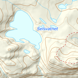
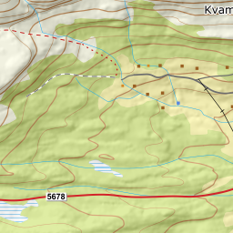
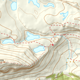
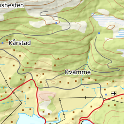
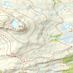
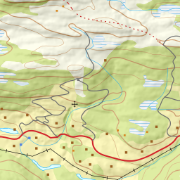
830 metres of climbing and 5.34 km from Rytnavegen over Kårstadstølen, Skaravatnet and Grunnevatnet, with the steep bowl between 1000 and 1100 m.
Start at the end of Rytnavegen, 404 m — the private road signed to parking for Storehesten, the local name for the same mountain. Fri Flyt gives two verticals for this mountain, and they are two different starts: 960 metres from Rytnane down in the valley, and 810 from here.
Route description, descent and avalanche terrain open with a subscription — 14 days free, then 29 kr/month.
Start free trialMore tours in Sunnfjord
- Snønipa1827 m · Demanding