Kvasstinden
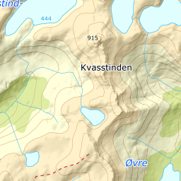
933 metres of ascent over 4.08 km from the E10 at Austerstraumen to Kvasstinden — and a name Lødingen has two of. The south-eastern Kvasstinden measures 913 m in the terrain model; this one, the north-western, climbs to 831.6 against Fri Flyt's 831. The published height names the summit. KAST 1 – Simple, but with ice axe and crampons on the kit list and an airy top: grade 2.
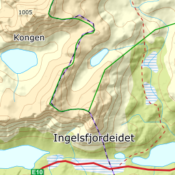
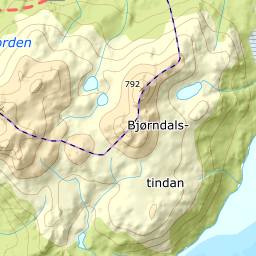
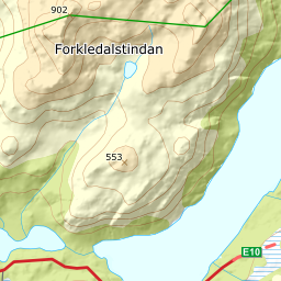
Elevation profile
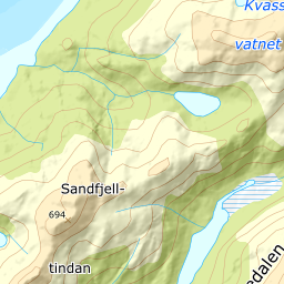
933 metres of ascent over 4.08 km from Austerstraumen: the bogs south, down into Trolldalen north of spot height 146 — and the west ridge to the airy 832 summit.
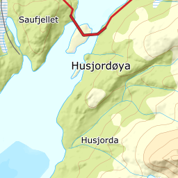
From the large car park east of the Austerstraumen bridge — 3 m — south along the bogs on a steady rise: 146 m where the corridor stands. The book also writes «from the car park on Husjordøya», but Husjordøya lies between Vesterstraumen and Austerstraumen, and the mapped car park is east of the bridge. It is the parking line that can be checked.
Route description, descent and avalanche terrain open with a subscription — 14 days free, then 29 kr/month.
Start free trialMore tours in Vesterålen
- Stortinden i Sortland1020 m · Expert
- Møysalen1264 m · Expert
- Forselvtinden907 m · Expert
- Forkledalstindan901 m · Expert
- Lakselvtindan747 m · Demanding
- Sebortinden831 m · Expert