SunnmøreDemandingSeason mars–May
Kvitegga
1457 metres of climbing over 5.93 km from Nibbedalen to the highest mountain in the central Sunnmøre Alps. The steepest sustained section measures 38.7 degrees — that is Brattbakken, and it is the one technical part of the tour.
Summit
1700 m
Vertical gain
↑ 1460 m
Typical time
6–8 h
Grade
Demanding
Aspect
E
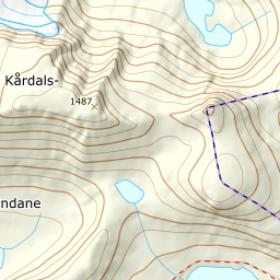
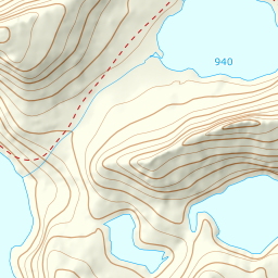
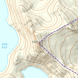
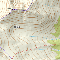
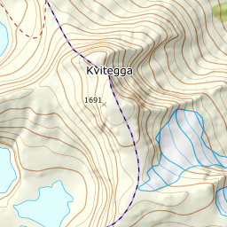
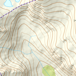
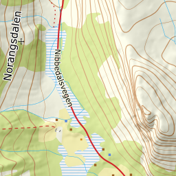
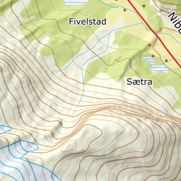
Elevation profile
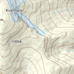
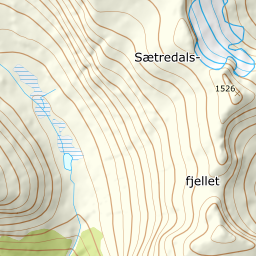
1457 metres of climbing and 5.93 km from the gravel pit in Nibbedalen through Snødalen, over Brattbakken and the 1583 m top to the summit.
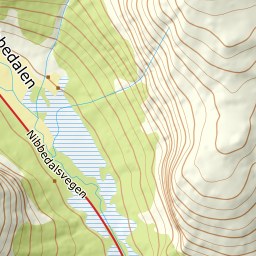
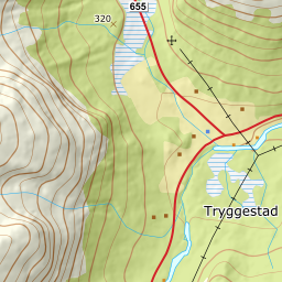
Start in the gravel pit in Nibbedalen, 324 m, where the side road leaves county road 655. If the road is not ploughed, park along the county road. The first 771 metres of ground lie at 5.9 degrees.
Route description, descent and avalanche terrain open with a subscription — 14 days free, then 29 kr/month.
Start free trialMore tours in Sunnmøre
- Auskjeret1203 m · Moderate
- Jønshornet1417 m · Expert
- Ytstevasshornet1331 m · Demanding
- Råna1587 m · Demanding
- Kolåstinden1432 m · Demanding
- Vassdalstinden1278 m · Demanding
- Saudehornet1303 m · Demanding
- Slogen1564 m · Expert
- Torvløysa1851 m · Moderate
- Skårene1830 m · Demanding
- Melshornet809 m · Easy
- Jakta1589 m · Demanding
- Skårasalen1542 m · Demanding
- Hornindalsrokken1527 m · Expert
- Sunndalsnipa1395 m · Moderate
- Eidskyrkja1482 m · Demanding