Kyrkjebønosi
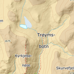
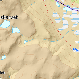
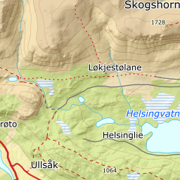
998 metres of climbing and 4.77 km from the sandpit at Kyrkjebøen to the high point at 1670 m, with a fore-summit at 1608 and a col at 1589 in between. The steepest hundred-metre band is 20.9 degrees from 1400 to 1500 m, and the steepest step 24.1 degrees between 1422 and 1442. The north-east side is something else entirely: 33.0 degrees on average, with 48.0 in the window 0 to 60 metres out.
Elevation profile
1002 metres of climbing and 4.62 km from the sandpit at Kyrkjebøen over Gravarbakkane at 1010 m and the fore-summit at 1608, with the forest letting go at 1107 m.
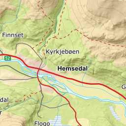
Start in the sandpit above the farm at Kyrkjebøen, 722 m. Ut.no gives the way there: in the village follow the road to the left of Skogstad Hotell, and after 1.4 km the sign for Kyrkjebønnøse stands on the right — on behind the barn and up to the sandpit. Fri Flyt calls the place the sandtak and gives parking by the information board.
Route description, descent and avalanche terrain open with a subscription — 14 days free, then 29 kr/month.
Start free trialMore tours in Hemsedal
- Slettind1592 m · Easy
- Nibbi1740 m · Moderate
- Råskarfjellet1610 m · Moderate
- Skogshorn1729 m · Moderate
- Storehorn1482 m · Moderate