Lakselvtindan
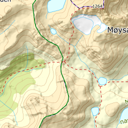
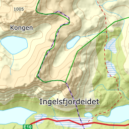
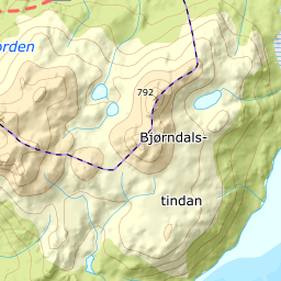
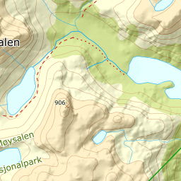
819 metres of ascent over 5.46 km from the Møysalen car park on the E10 to Lakselvtindan — the gentlest summit of this round. The flank sweep measures 5.4 degrees on average to the north-west and 17.7 to the south-west, where the ridge arrives, and no bearing holds a window steeper than 50.4. Fri Flyt gives KAST 2 – Challenging and puts ice axe and crampons on the kit list; grade 3 comes from that kit and the crust the source warns about, not from steepness.
Elevation profile
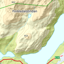
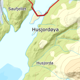
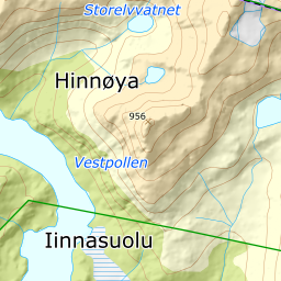
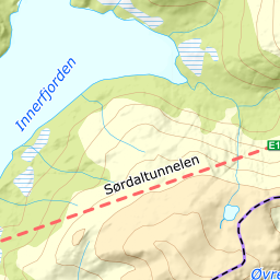
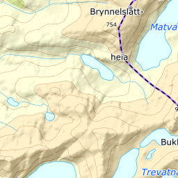
819 metres of ascent over 5.46 km from the Lofast: the north shore of Storvatnet, up between the rivers past spot height 258 — and the ridge east of Lakselva to the cairn at 747.
From the large car park at Ingelsfjordeidet — 23 m — the line runs along the north shore of Storvatnet: 85 m where the corridor is anchored. The source writes «cross Storvatnet», but the same book's own Forkledalen route from this car park says «follow the north side of Storvatnet». The map carries the land line; the ice is not a premise.
Route description, descent and avalanche terrain open with a subscription — 14 days free, then 29 kr/month.
Start free trialMore tours in Vesterålen
- Stortinden i Sortland1020 m · Expert
- Møysalen1264 m · Expert
- Forselvtinden907 m · Expert
- Forkledalstindan901 m · Expert
- Sebortinden831 m · Expert
- Kvasstinden832 m · Moderate