Langlitinden
1305 metres of ascent over 5.53 km from the road end at Vang to the Nordic countries' highest island summit: Langlitinden is Andørja's highest, and the whole mountain — fjord to cairn — is its prominence. The summer route along Bjørndalselva, the flat with the lake, and the traverse at 800–900 where the source records avalanche history. KAST 3 – Complex with ice axe and crampons. Grade 4 — for stable days.
Elevation profile
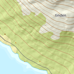
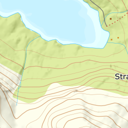
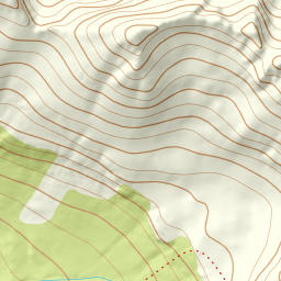
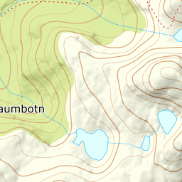
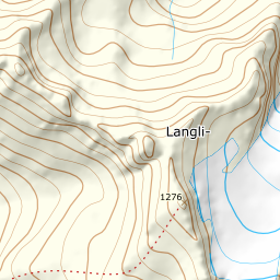
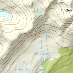
1305 metres of ascent over 5.53 km from the road end at Vang: the summer route along Bjørndalselva, the flat with the lake at 666 — and the traverse at 800–900 towards the 1033 knoll, before the broad side to the cairn at 1276.
From the turnaround where Straumbotnveien ends at Vang — 8 m — follow the west side of Bjørndalselva inward: the path stands in the line at 267, and the treeline sits at 435 after 2.0 km. The band from 400 to 500 is the steepest on average at 21.5 degrees, and the steepest single step, 33.5 degrees between 496 and 517 m, sits in the summer route up towards the flat.
Route description, descent and avalanche terrain open with a subscription — 14 days free, then 29 kr/month.
Start free trialMore tours in Harstad
- Hattfjellet857 m · Demanding
- Stortussen945 m · Demanding
- Litletussen795 m · Demanding
- Slåttheia694 m · Moderate
- Skjellesvikgalten987 m · Expert
- Nona1009 m · Expert
- Trolltinden918 m · Demanding
- Årbostadtinden1179 m · Expert
- Klåptinden998 m · Demanding
- Toppen759 m · Expert
- Lundenesgalten787 m · Demanding
- Middagstinden på Andørja630 m · Moderate
- Skartinden1149 m · Expert
- Kråkrøtinden1186 m · Expert
- Ristinden1056 m · Expert
- Snøtinden1215 m · Expert
- Storhornet i Kvæfjord722 m · Easy
- Vetefjellet547 m · Moderate
- Storlitinden613 m · Easy
- Stortinden på Rolla1020 m · Expert
- Rundtinden872 m · Demanding
- Sula848 m · Moderate
- Heia527 m · Easy
- Hinnstein560 m · Demanding
- Lasselitinden896 m · Demanding
- Hemmestadfjellet686 m · Moderate
- Middagstinden i Kvæfjord922 m · Expert
- Nattmålsfjellet546 m · Demanding
- Horntindan911 m · Expert
- Tverrfjellet889 m · Moderate
- Sørvikfjellet607 m · Expert
- Melåaksla916 m · Moderate
- Rundfjellet i Harstad868 m · Moderate
- Jakobstinden976 m · Demanding
- Haukebøtinden905 m · Moderate
- Reinspælen1117 m · Expert
- Sætertinden1095 m · Moderate
- Kongsviktinden980 m · Demanding
- Snøtinden i Tjeldsund980 m · Moderate
- Taraldsviktinden776 m · Demanding
- Nonstinden930 m · Expert
- Snøtindan996 m · Expert
- Fiskefjordtindan965 m · Demanding
- Middagsfjellet810 m · Demanding
- Strandtinden1076 m · Demanding
- Jotind979 m · Expert
- Siriskolten659 m · Easy
- Trollfjellet1009 m · Moderate
- Helligtinden948 m · Demanding