Litletind
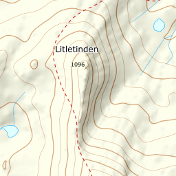
916 metres of ascent over 5.21 km from Nervatnet to the fore-summit with the city view — Litletind is the Sleeping Queen's foothill and one of Narvik's most popular local tours, with Narvik and Rombaksfjorden below the cairn. Fri Flyt rates it KAST 2 – Challenging; the line measures 19.9 degrees in its steepest hundred-metre band and 26.2 in its steepest sustained stretch, up in the summit ground. The register writes Litletinden, and the summit search resolves 1099.6 against the source's 1096.
Elevation profile
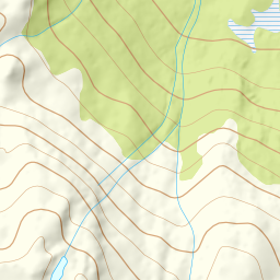
916 metres of ascent and 5.21 km from Nervatnet up the ridge from the treeline, with the forest limit at 532 m and the steepest ground — 26.2 degrees between 1043 and 1064 m — in the wind-scoured summit ground.
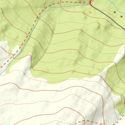
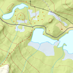
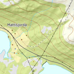
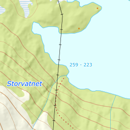
The same start as the queen: the parking after the bridge at Nervatnet, 223 m. Nervatnet is regulated — the line keeps the shoreline path on land, crosses the bog south of the lake and climbs through the sparse forest. The trees end at 532 m after 2.93 km, and the two first climbing bands measure 14.9 and 16.4 degrees.
Route description, descent and avalanche terrain open with a subscription — 14 days free, then 29 kr/month.
Start free trialMore tours in Narvik
- Spanstinden1457 m · Moderate
- Rombakstøtta1231 m · Demanding
- Beisfjordtøtta1448 m · Demanding
- Skjomtinden1576 m · Expert
- Gangnesaksla1318 m · Demanding