Lønahorgi
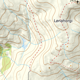
1307 metres of climbing from 139 m — one of the longest continuous ascents at Voss, and technically one of the easiest. The steepest sustained section on the line measures 28.9 degrees, and the north ridge over the last 107 metres is nearly flat.
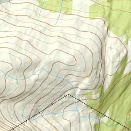
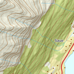
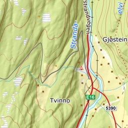
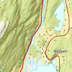
Elevation profile
1307 metres of climbing and 6.71 km from Høyland, with the last 107 metres spread over 1.1 km of gentle north ridge.
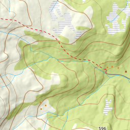
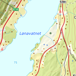
From the E16 at Grotlandsbrua, about a kilometre north of the end of Lønavatnet, turn west and drive Høylandsvegen up to the abandoned farm at Høyland, 139 m. The forest track takes over there. Note that ploughing all the way is not documented — this is a gravel road to a disused farm, not a winter road.
Route description, descent and avalanche terrain open with a subscription — 14 days free, then 29 kr/month.
Start free trialMore tours in Voss
- Finnbufjellet1357 m · Moderate
- Storanosi1205 m · Moderate
- Vatnaknausen1302 m · Moderate
- Horndalsnuten1462 m · Demanding